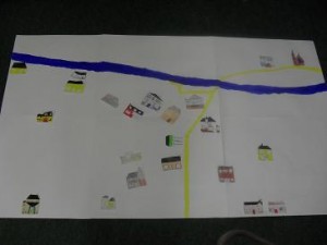
As part of our Green Flag Transport plan 5th and 6th class recently spent some time exploring the wonderful world of google maps. We looked at the local area of Castledaly in great detail. The children were able to pin point their houses and important roads on the map. We decided we would draw our own map of the area and map all our houses on it. We included the major and minor roads as well as important buildings to the children in the Castledaly area e.g the church, the school and the local shop.

